
Chembra Peak
Wayanad's highest peak, at about 2,100 m near Meppadi, known for a guided trek through grassland to a heart-shaped lake.
Overview
Chembra Peak rises to about 2,100 m near Meppadi in southern Wayanad and is the highest point in the district. It forms part of the Western Ghats hills that run along the border with Tamil Nadu's Nilgiris. The trek is managed by the Forest Department through a local forest protection committee, and visitors register and hire a guide at the base before setting off. Kerala Tourism rates it a moderate trek.
The heart-shaped lake
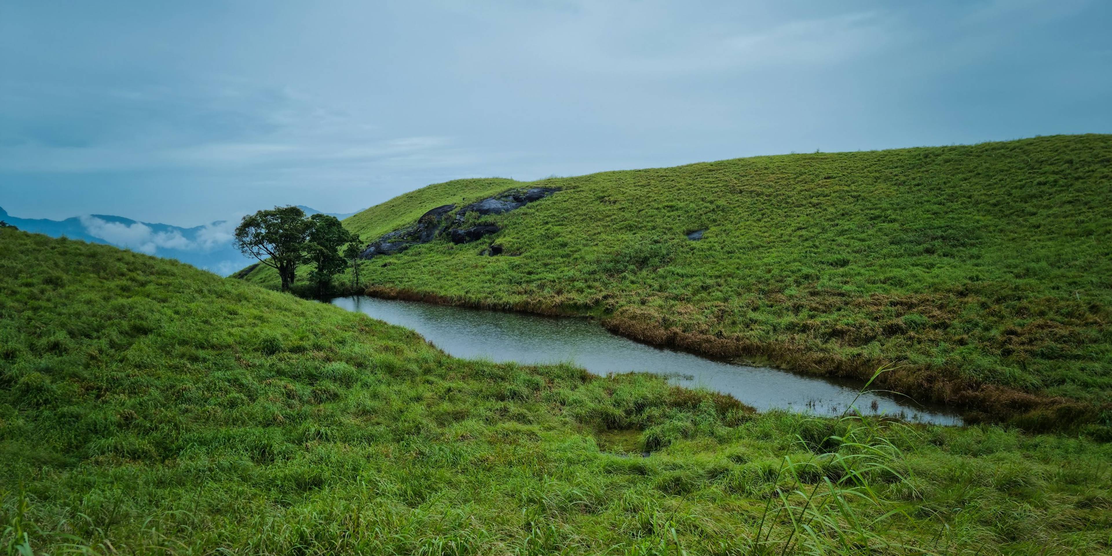
The trail climbs from the forest office through tea estates and then onto steep, open grassland with patches of forest. Partway up is a small lake shaped like a heart, locally called Hridaya Saras, which is said never to have dried up and is the trek's best-known sight. On clear days the ridges give wide views over Wayanad's plantations and hills. A round trip usually takes three to four hours.
Access rules have changed in recent years. Reports indicate that the Forest Department has restricted trekking beyond the heart-shaped lake to protect wildlife, has limited daily numbers, and has closed the trail entirely at times, for example after fires or during bad weather. Confirm the current status with the forest office in Meppadi before planning your day. Start early, as permits are limited and the grassland offers little shade.
Meppadi is the nearest village and Kalpetta, about 20 km away, is the main base, with plenty of places to stay. Soochipara waterfall and the tea country around Meppadi are close by, and Banasura Sagar Dam and Pookode Lake are within an hour's drive, so Chembra combines well with a few days in Wayanad.
Good to know
- Reach the forest office early in the morning, as daily permits are limited.
- Check the current trekking status with the Forest Department before travelling.
- Carry water and snacks, but no plastic; the area is an ecotourism zone.
- Wear comfortable shoes with a good grip for the steep grassy slopes.
- Bring a hat and sunscreen, as the upper trail has little shade.
Photos
Getting there
- By road
- About 20 km from Kalpetta via Meppadi; buses run to Meppadi, from where jeeps and taxis go to the trailhead.
- By train
- Kozhikode railway station is about 90 km away.
- By air
- Calicut International Airport is about 95 km away; Kannur International Airport is about 118 km away.
Nearest town: Meppadi
Photos: Asim Z Kodappana / Unsplash
More places nearby
Wayanad
Banasura Sagar Dam
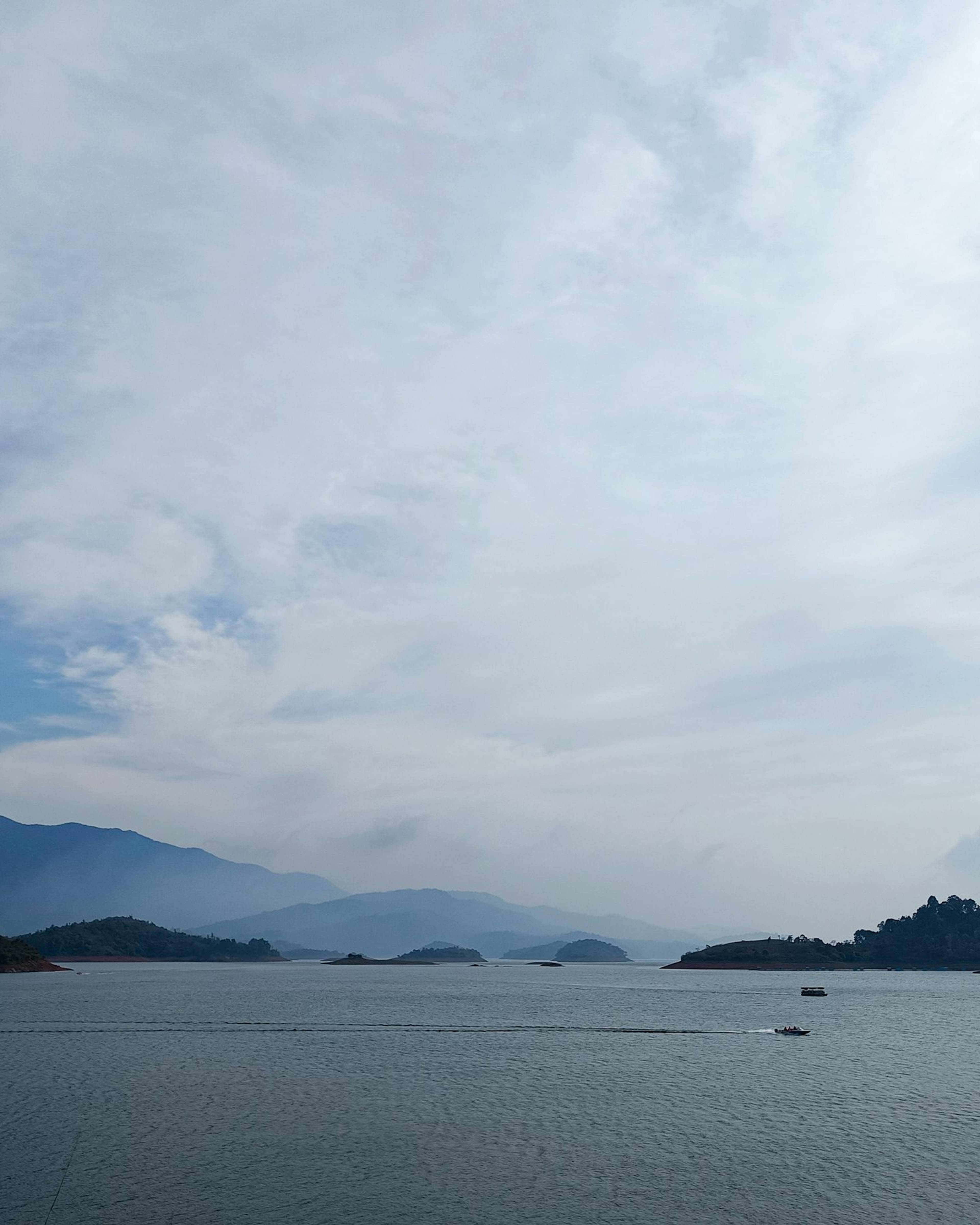
India's largest earth dam, near Padinjarathara in Wayanad, with a wide island-dotted reservoir set against the Banasura hills and speedboat rides.
Wayanad
Edakkal caves
A steep walk up Ambukuthi hill leads to rock shelters carved with some of the oldest petroglyphs in South India.
Wayanad
Kuruva Island (Kuruvadweep)
A forested cluster of river islands on the Kabini, reached by bamboo raft and explored on foot, with a strict daily visitor limit.
Wayanad
Pookode Lake
A small freshwater lake ringed by evergreen forest near Vythiri, known for its India-map outline, pedal boats and a gentle walk around the shore.