
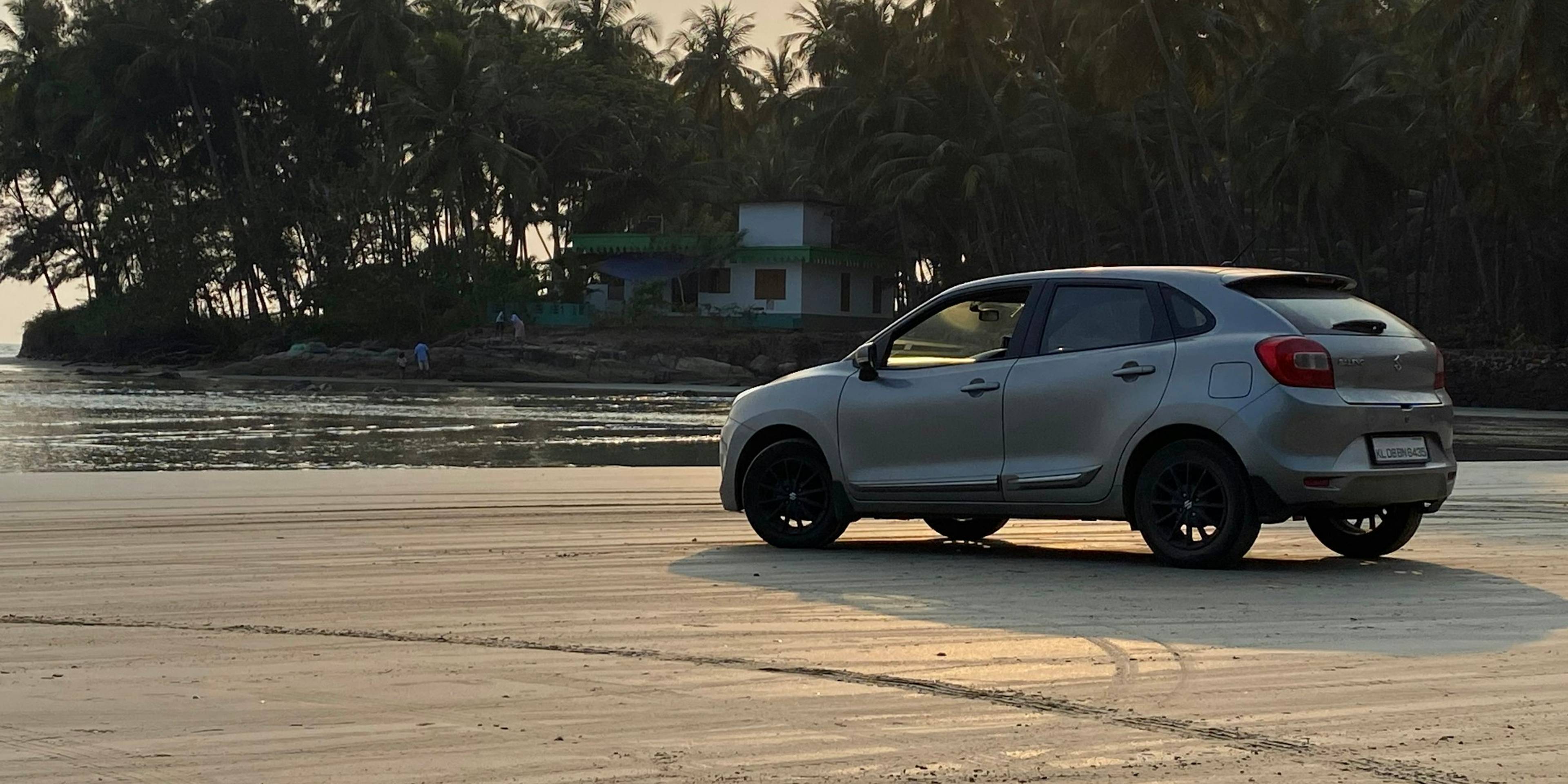
Muzhappilangad Drive-in Beach
A long, firm-sanded beach near Thalassery where cars can be driven along the shoreline, with rocky reefs offshore and adventure sports in season.
Overview
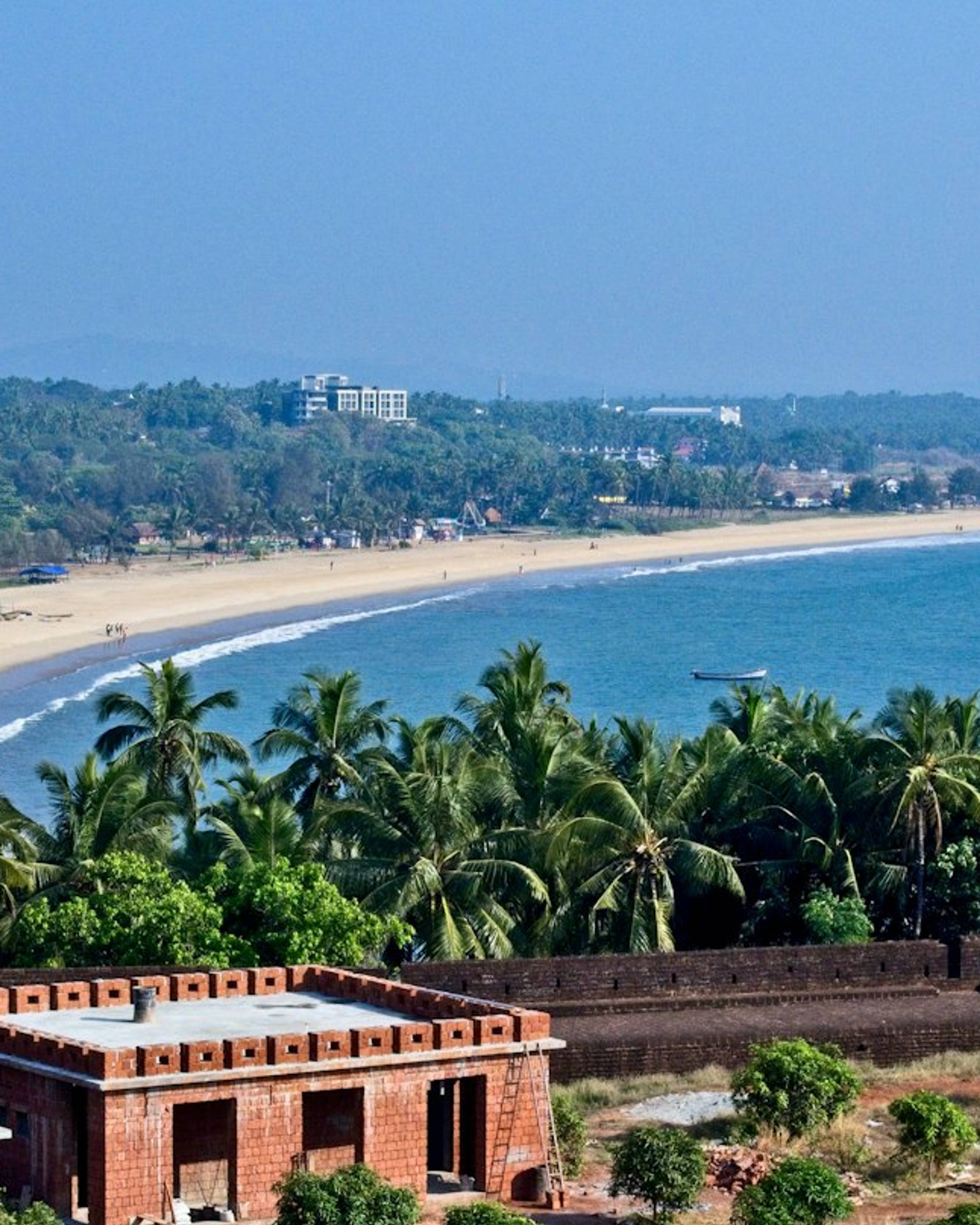
Muzhappilangad Beach runs along the coast between Kannur and Thalassery, roughly 8 km north of Thalassery town. Kerala Tourism describes it as the only drive-in beach in the state: the sand is packed hard enough for cars and motorbikes to travel along the waterline for around four to five kilometres. A line of black rocks sits just offshore and breaks the force of the sea, which keeps the water near the shore comparatively calm.
Driving, watching and adventure sports
Most people come to drive slowly along the hard sand with the sea on one side and coconut palms on the other, then stop to walk or watch the sunset. Operators run parasailing and other water-based activities during the dry season, and the beach has also been used for paragliding and microlight flights. Prices and availability are set by the operators and change from year to year, so ask on arrival.
The beach is busiest on weekend evenings and holidays, when families and groups of friends drive down from nearby towns. Weekday mornings are much quieter and good for birdwatching along the tideline. Vehicle access points can be closed in rough weather, and the safest driving is on firm, damp sand close to low tide rather than the soft sand higher up. There are small food stalls near the main entry points.
The small wooded Dharmadam island lies just off the northern end of the beach. Thalassery, with its old fort, pier and well-known food scene, is a short drive south, and Kannur town, St Angelo Fort and Payyambalam Beach are within easy reach to the north, so the beach fits neatly into a day exploring the Kannur coast.
Good to know
- Drive only on firm, damp sand and keep speeds low; soft sand higher up the beach can trap vehicles.
- Check tide times before you go, as low tide gives the widest driving surface.
- Watch for stones and debris on the sand that can damage tyres, particularly near construction areas.
- Respect any ribbons or barriers closing entry points in rough weather.
- Agree prices with adventure-sport operators before you start.
Photos
Getting there
- By road
- About 8 km north of Thalassery and roughly 15-20 km south of Kannur along the coastal road; local buses and taxis run from both towns.
- By train
- Thalassery railway station is about 7-10 km away; Kannur railway station is roughly 15-20 km away.
- By air
- Kannur International Airport is about 35-40 km away.
Nearest town: Thalassery
Photos: Prabin Pradeep / Unsplash and Sooraj Varma Vk / Unsplash
More places nearby
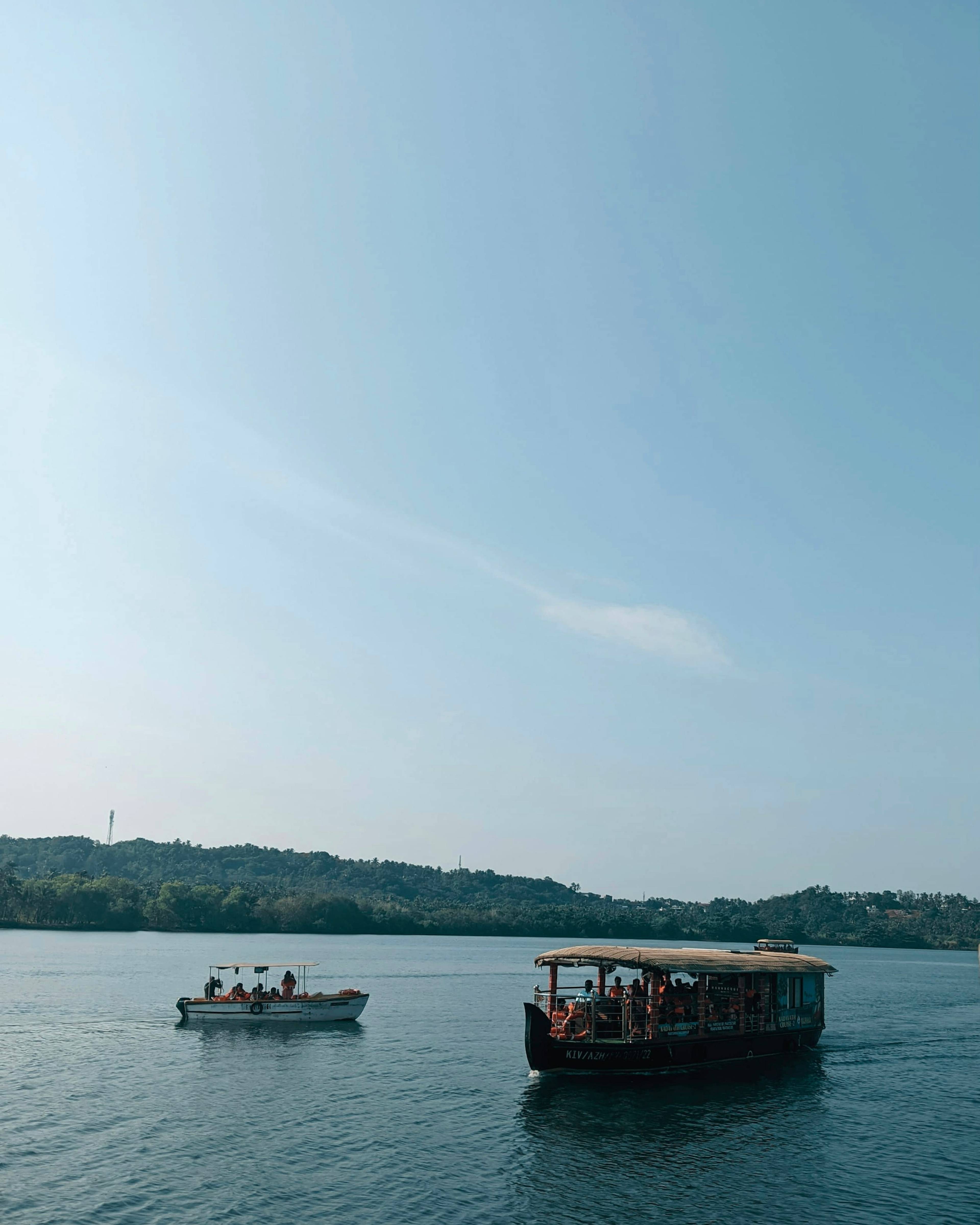
Kannur
Parassinikadavu Sree Muthappan Temple
A riverside shrine to Muthappan on the Valapattanam River, open to all faiths, where Theyyam is performed as daily worship.
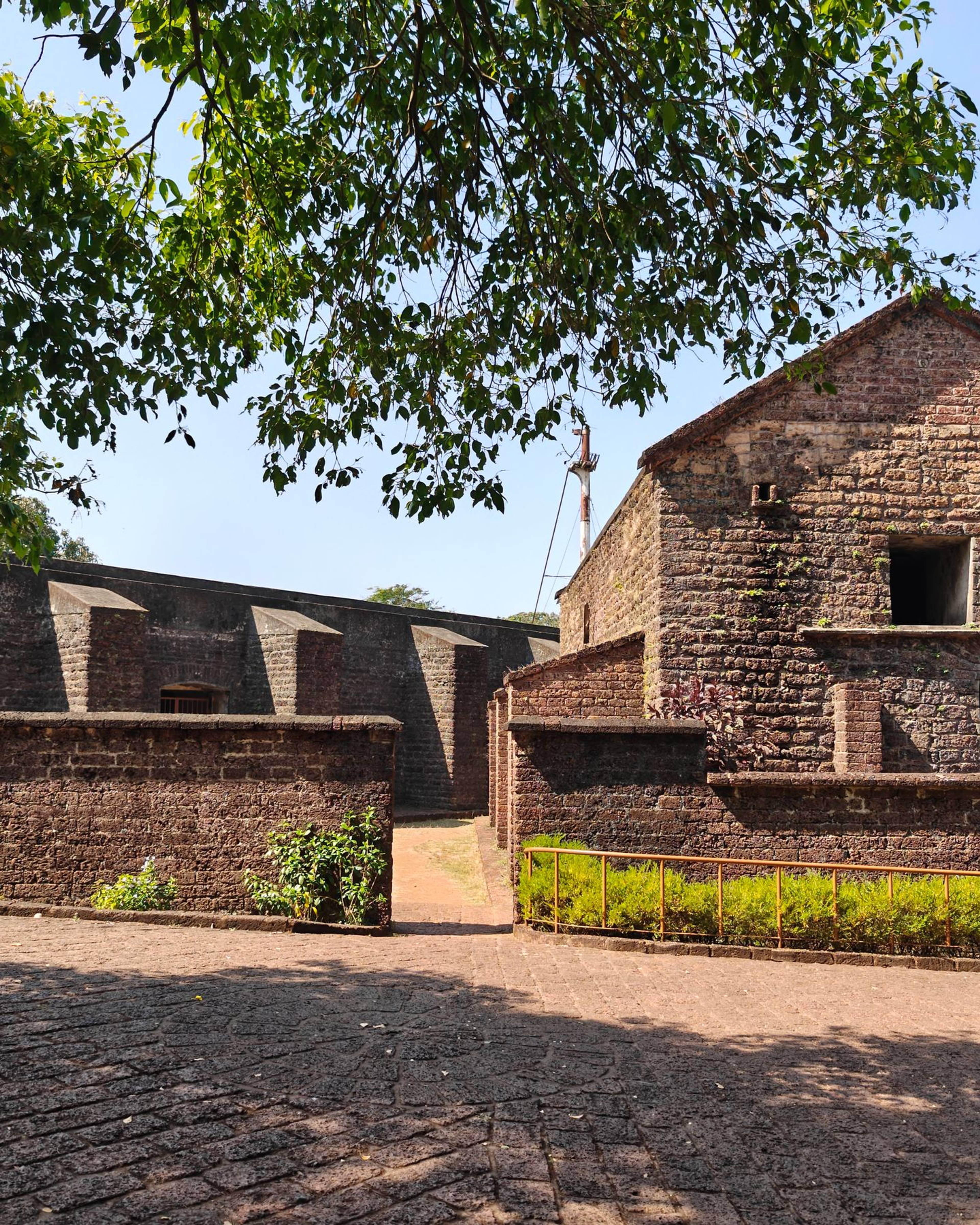
Kannur
St Angelo Fort (Kannur Fort)
A triangular laterite fort built by the Portuguese in 1505 on a sea cliff in Kannur, now protected by the Archaeological Survey of India.
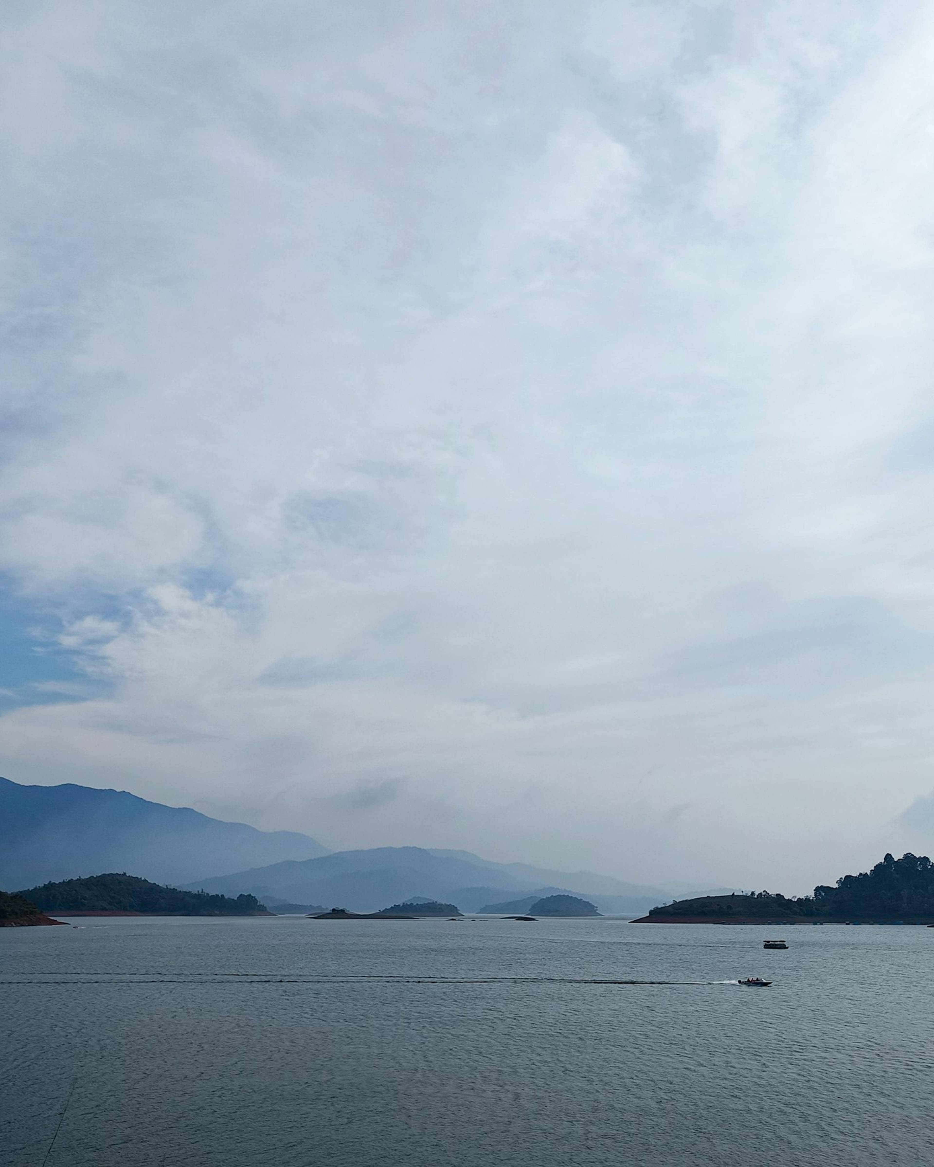
Wayanad
Banasura Sagar Dam
India's largest earth dam, near Padinjarathara in Wayanad, with a wide island-dotted reservoir set against the Banasura hills and speedboat rides.
Kasaragod
Bekal Fort
A large keyhole-shaped laterite fort standing over the sea, with walkways along its seaward walls.