
Ponmudi
A winding road of hairpin bends climbs from the capital to grassy hilltops and cool air, an easy day trip.
Overview
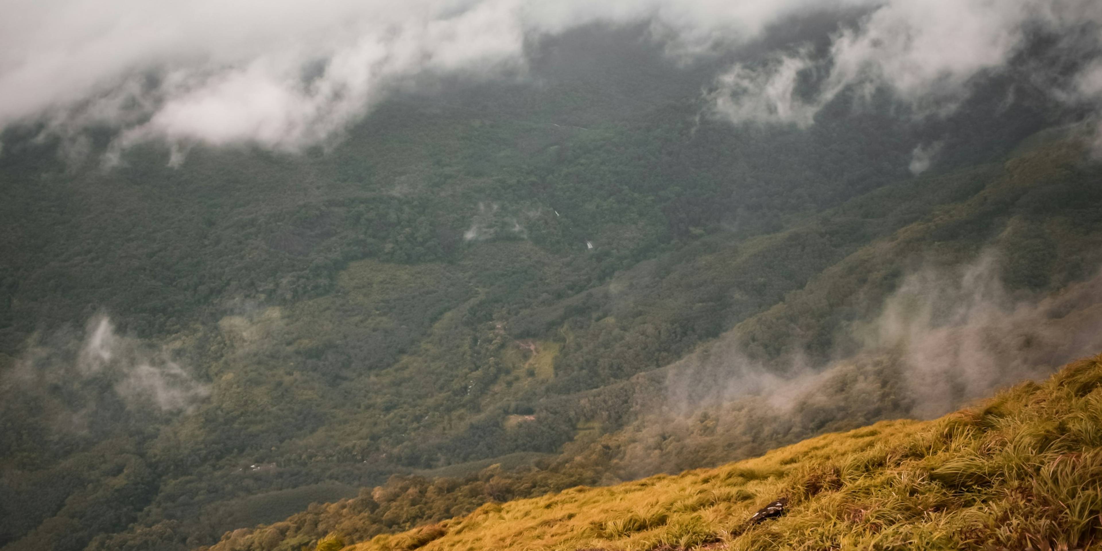
Ponmudi is a small hill station in the Western Ghats, about 60 km north-east of Thiruvananthapuram. It sits at roughly 1,100 metres. The drive up is a large part of the experience. After Vithura and the forest check post at Kallar, the road climbs through 22 hairpin bends, passing rubber, then forest, then open grassland near the top. On a clear day you can see far across the lowlands. On many days you are inside the cloud.
There is not a great deal to do at the summit itself. People come for the cool air, the mist and a walk around the grassy ridges. Ponmudi works best as a day trip from the city or as an overnight stop. Weekends can be crowded with day visitors from Thiruvananthapuram, while weekdays are much quieter. Facilities at the top are limited, so it is wise to bring water and snacks.
Nearby
The Kallar river area near the foot of the hill is popular for a paddle among the boulders. Kallar Meenmutty Falls, about 13 km from Ponmudi, is reached on foot along a forest path. Peppara Wildlife Sanctuary lies about 30 km away. Agasthyarkoodam, one of the highest peaks in southern Kerala, is a demanding multi-day trek that is open only at certain times of year and needs a permit.
Ponmudi is a protected ecotourism area. The Forest Department controls entry at the check post, plastic litter is banned, and the hill can be closed at short notice during heavy rain or landslide warnings.
Good to know
- Set off early, as entry through the forest check post stops in the late afternoon and the drive up takes time.
- Take motion-sickness tablets if you are not used to hairpin roads.
- Bring your own water and snacks, and carry all rubbish back down, because plastic litter is banned.
- Check for weather closures before you leave Thiruvananthapuram, especially during the monsoon.
- Visit on a weekday if you can, as weekends draw large crowds from the city.
Photos
Getting there
- By road
- Ponmudi is about 60 km from Thiruvananthapuram city by road via Vithura, and the last stretch has 22 hairpin bends. KSRTC buses run from Thampanoor bus station, and the journey takes about three hours.
- By train
- Thiruvananthapuram Central is the nearest railway station, about 56 km away.
- By air
- Thiruvananthapuram International Airport is the nearest airport, about 58 km away by road.
Nearest town: Vithura
Photos: Jassim Shanavas / Unsplash and Eshak Angell / Unsplash
More places nearby
Thiruvananthapuram
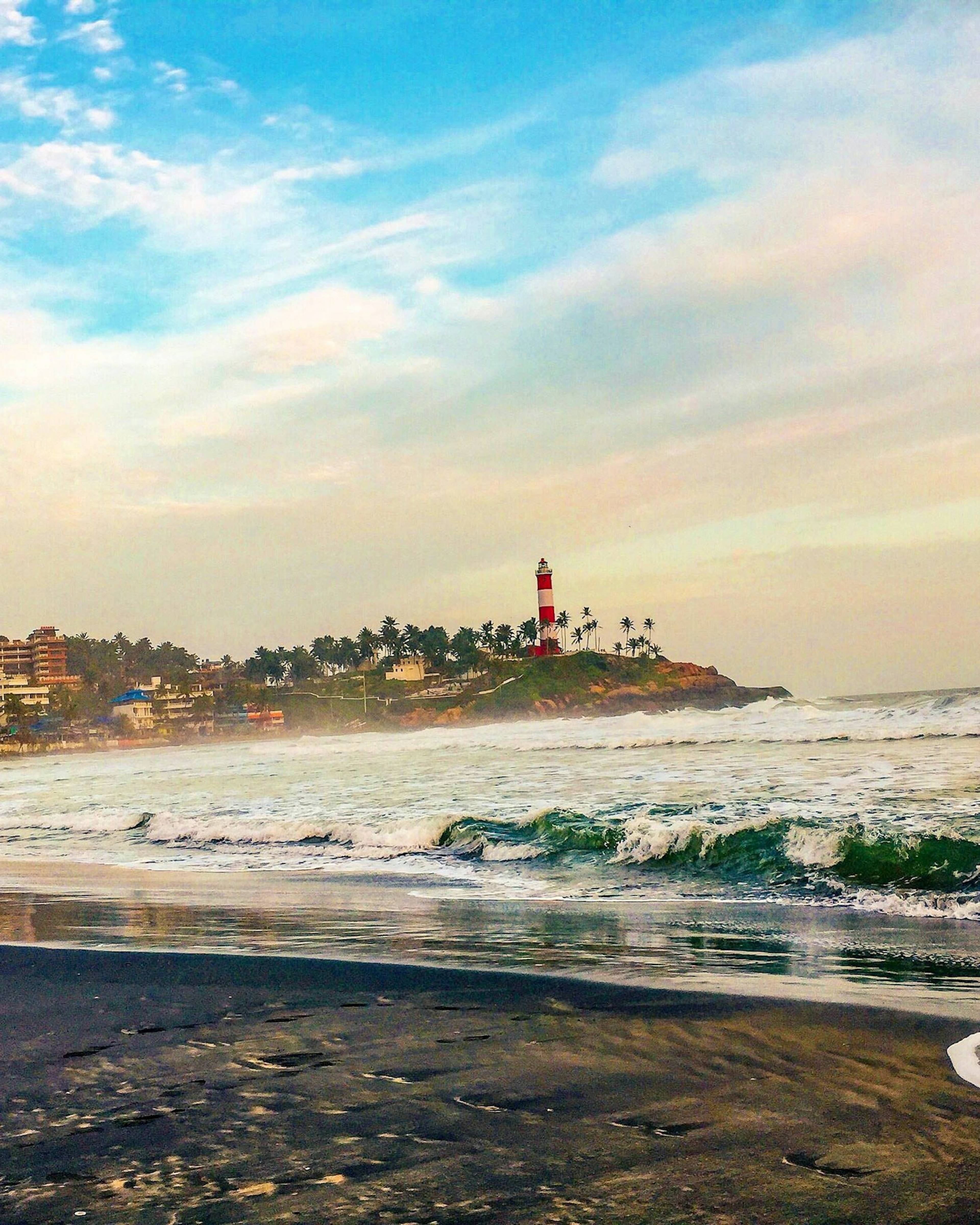
Kovalam Beach
Kerala's best-known beach resort, a chain of crescent bays south of Thiruvananthapuram watched over by the red-and-white Vizhinjam lighthouse.
Thiruvananthapuram
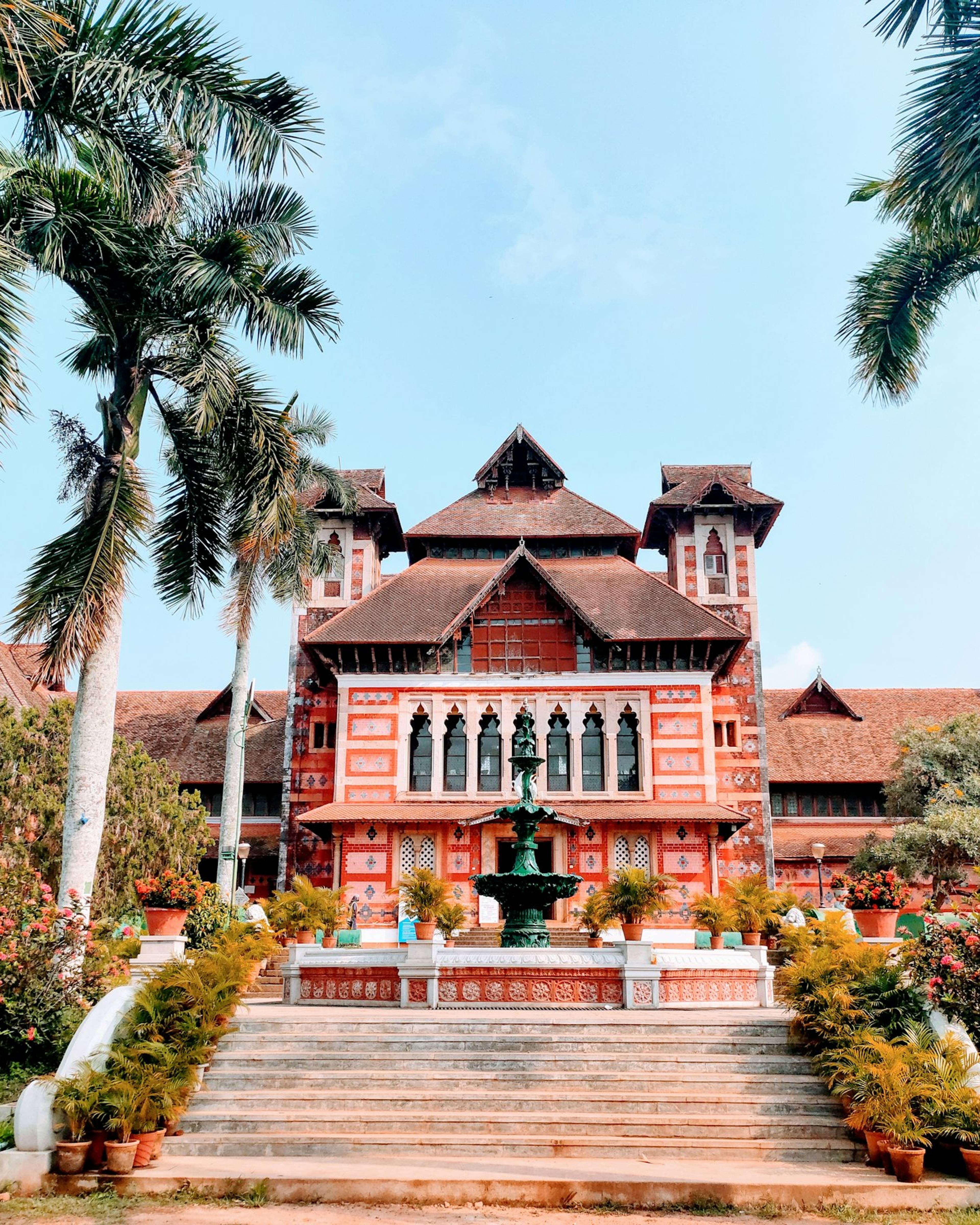
Napier Museum
A 19th-century Indo-Saracenic museum in central Thiruvananthapuram, holding bronzes, ivory carvings, coins and other treasures of old Travancore.
Thiruvananthapuram
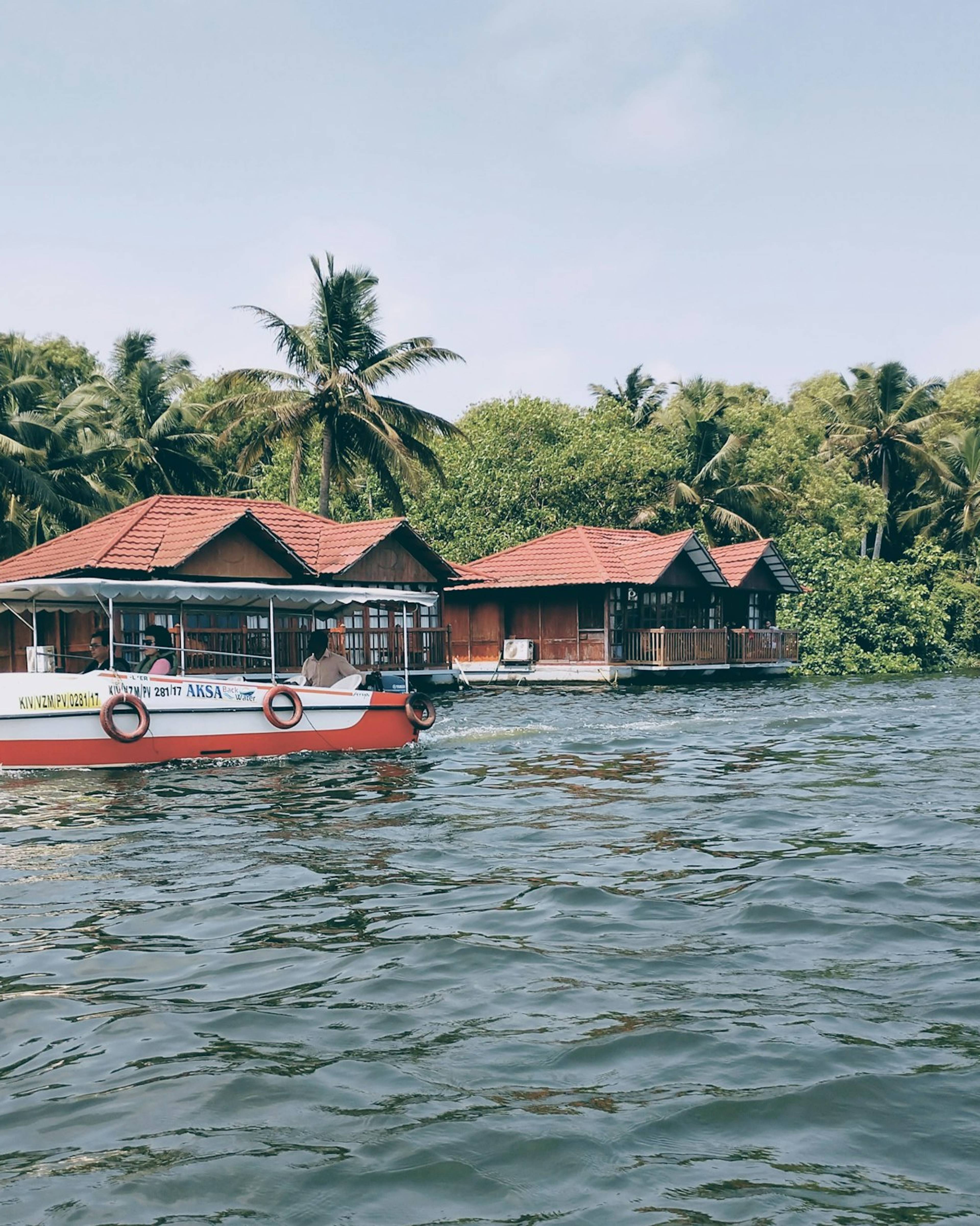
Poovar Island and estuary
A quiet estuary at Kerala's southern tip where the Neyyar River meets the sea, with mangrove backwaters and a golden sand bar reached by boat.
Thiruvananthapuram
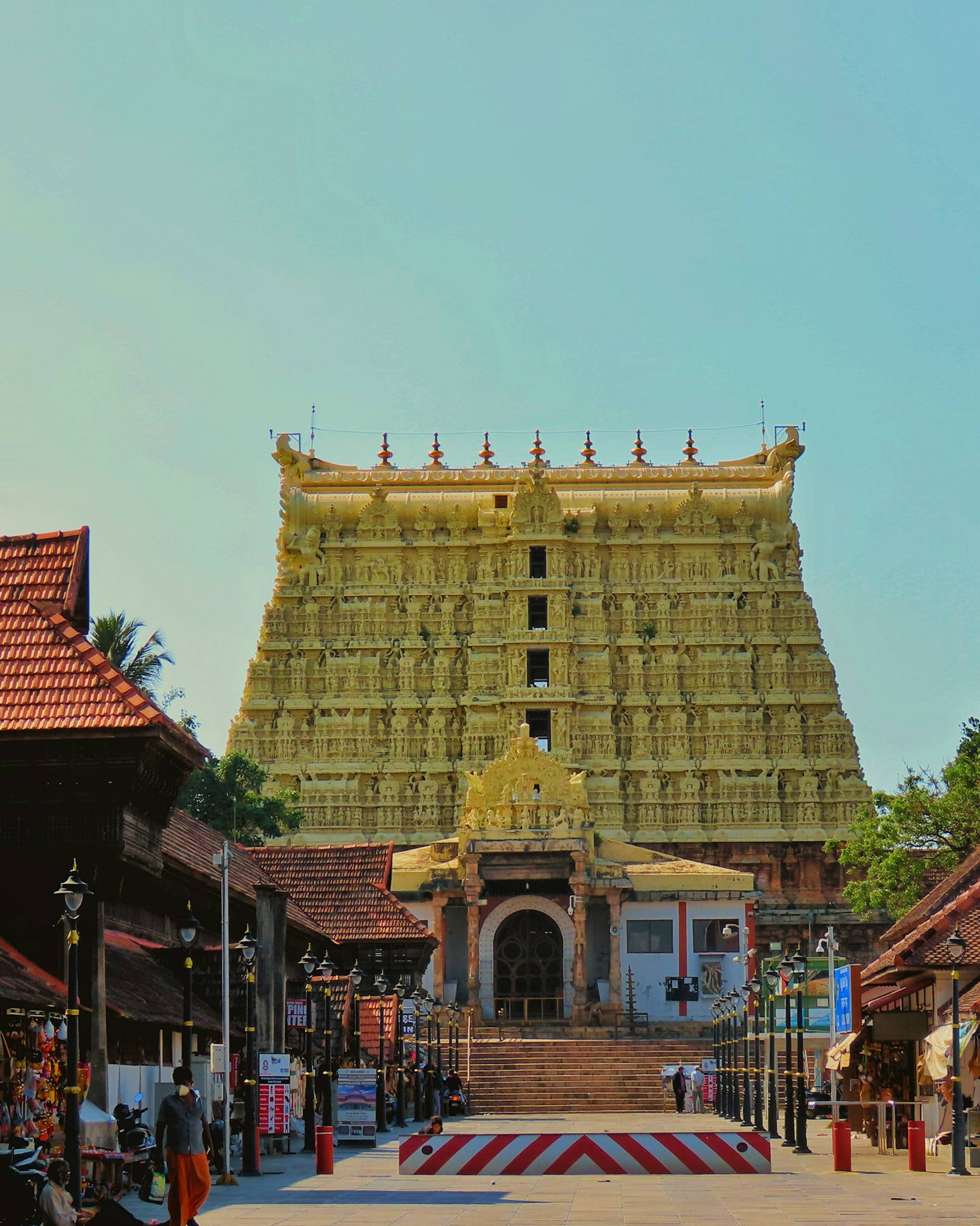
Sree Padmanabhaswamy Temple
The great Vishnu temple in Thiruvananthapuram's East Fort, with a towering gopuram, a reclining deity and a long history tied to the Travancore royal family.