
Illikkal Kallu
A hilltop of three striking rock outcrops above Erattupetta, with a short climb and wide views across the Kottayam and Idukki hills.
Overview
Illikkal Kallu is a group of rock formations on top of Illikkal Mala, one of the highest hills in Kottayam district, in Moonnilavu panchayat near Teekoy and Erattupetta. Sources disagree on the exact height, but the summit stands well above the surrounding rubber country, and several small streams on the hill feed the Meenachil river. Three rocks give the place its character: Kuda Kallu, shaped rather like an umbrella or mushroom; Koonu Kallu, with a hump on one side; and the main Illikkal Kallu, whose top looks as if part of it has been sheared off.
Reaching the top
A winding road with hairpin bends climbs most of the way, and the last stretch is a short walk up a rocky path from the parking area. From the top, the views take in rolling hills, valleys and, when the air is very clear, a faint line of the Arabian Sea far to the west. Mist often drifts across the summit, and sunsets are a popular time to visit. A narrow rock ridge near the top, known locally as Narakapalam, should be treated with great care.
The hilltop is exposed, windy and often cool. Paths become slippery in rain and the area can be dangerous in thunderstorms, so check the weather before setting out. Facilities at the top are basic, so bring water and snacks, and wear shoes with a good grip. Weekends and holidays can be busy with day-trippers from Kottayam and Pala.
Illikkal Kallu combines well with other spots in the eastern Kottayam hills. Vagamon's meadows and pine forest lie to the east, and the Marmala waterfall area is in the same broad region near Teekoy. Erattupetta and Pala have the nearest choice of places to eat and stay.
Good to know
- Wear shoes with a firm grip; the rock paths are slippery when wet.
- Keep well back from the edges and take great care on the narrow ridge near the top.
- Leave the summit promptly if thunder or lightning approaches.
- Carry water and snacks, as there are few facilities at the top.
- Start the descent before dark; the hill road has many hairpin bends.
Getting there
- By road
- About 20 km from Erattupetta by a steep hill road via Teekoy; Kottayam town is roughly 55 to 60 km away. Jeeps are sometimes available locally for the final climb.
- By train
- Kottayam railway station is about 55 to 57 km away.
- By air
- Cochin International Airport is about 85 km away.
Nearest town: Erattupetta
More places nearby
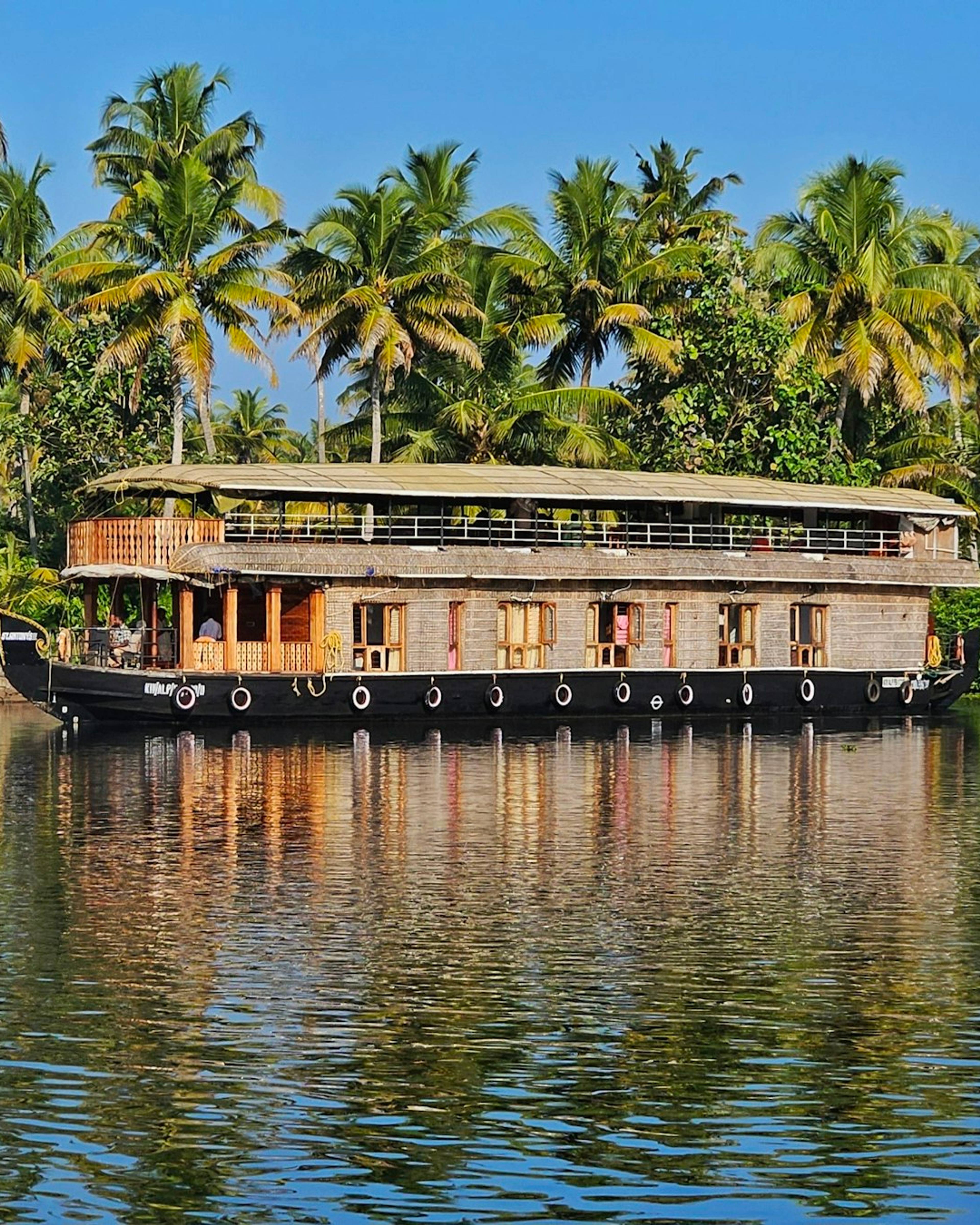
Kottayam
Kumarakom Bird Sanctuary
Mangroves and wetland on the banks of Vembanad Lake, busiest with resident and migratory birds in winter.
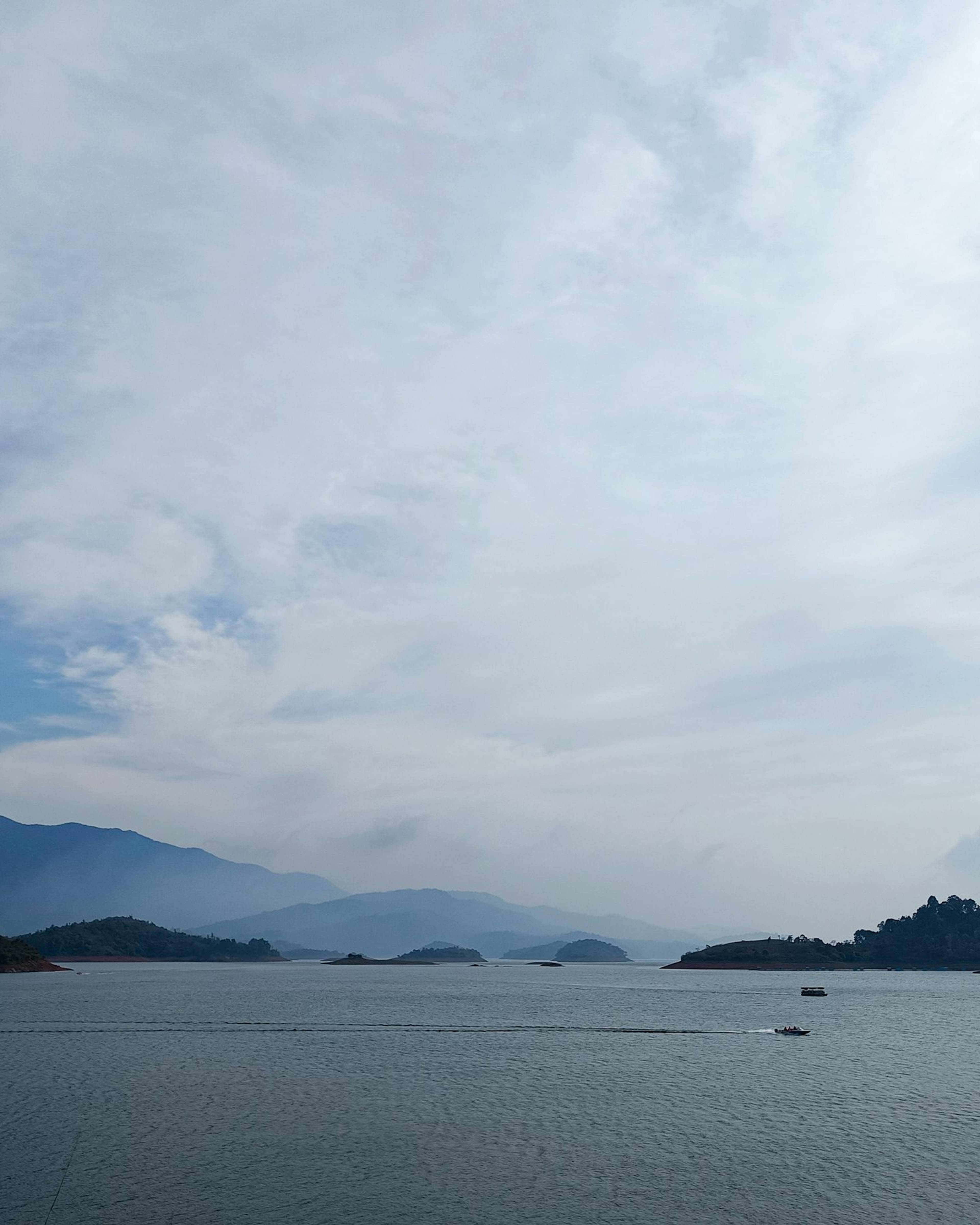
Wayanad
Banasura Sagar Dam
India's largest earth dam, near Padinjarathara in Wayanad, with a wide island-dotted reservoir set against the Banasura hills and speedboat rides.
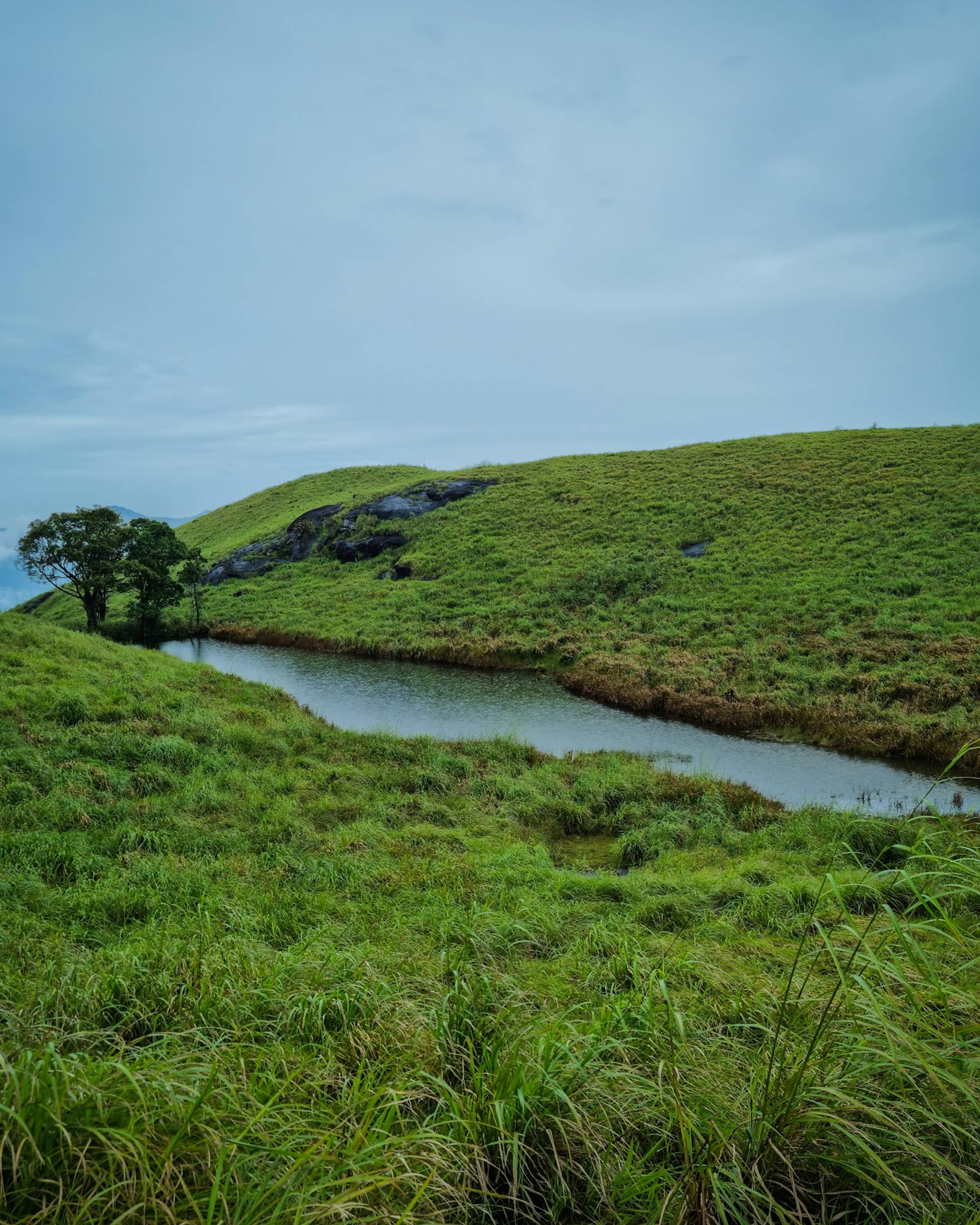
Wayanad
Chembra Peak
Wayanad's highest peak, at about 2,100 m near Meppadi, known for a guided trek through grassland to a heart-shaped lake.
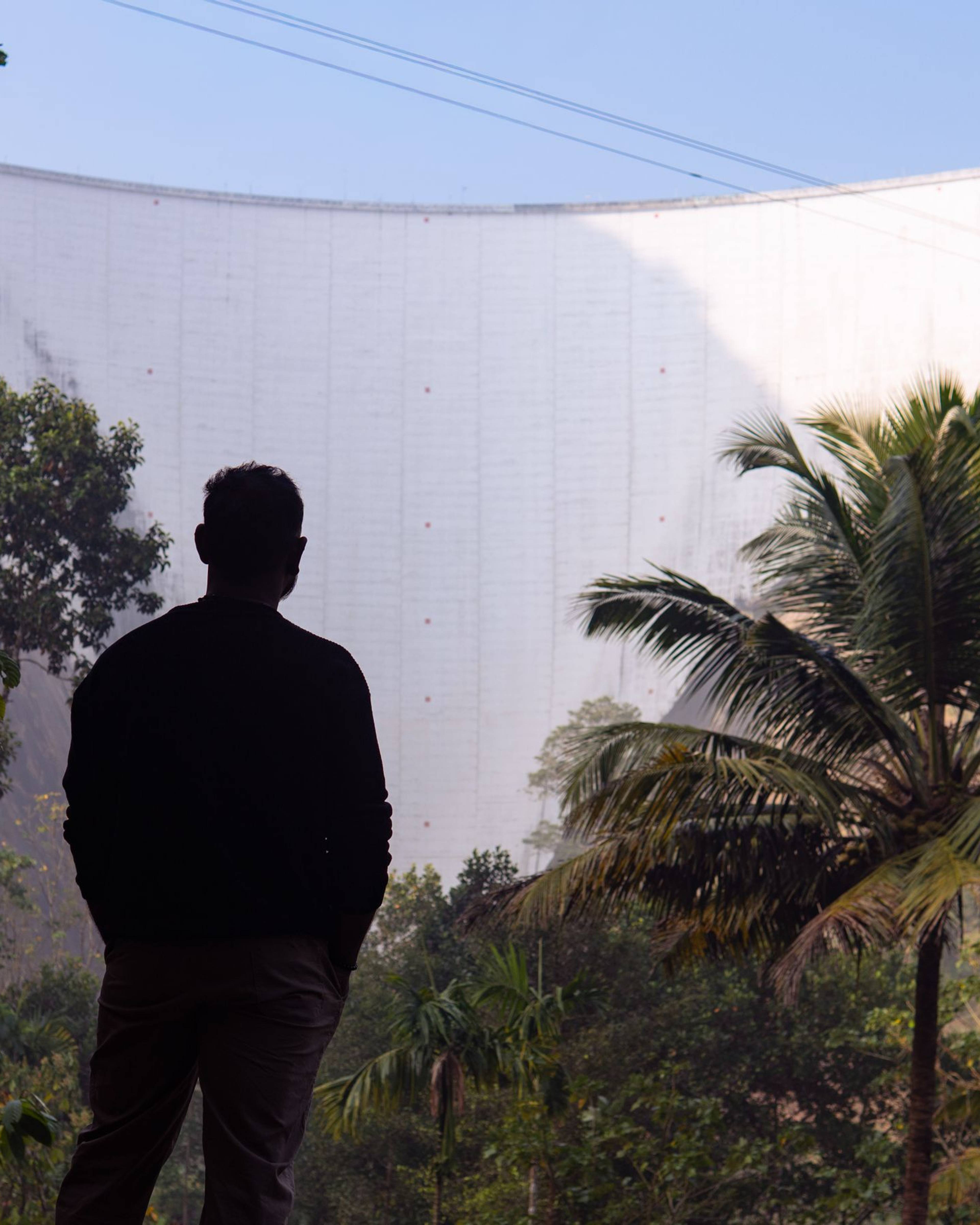
Idukki
Idukki Arch Dam
A towering double-curvature arch dam across the Periyar gorge between the Kuravan and Kurathi hills, holding back one of Kerala's largest reservoirs.