
Ranipuram
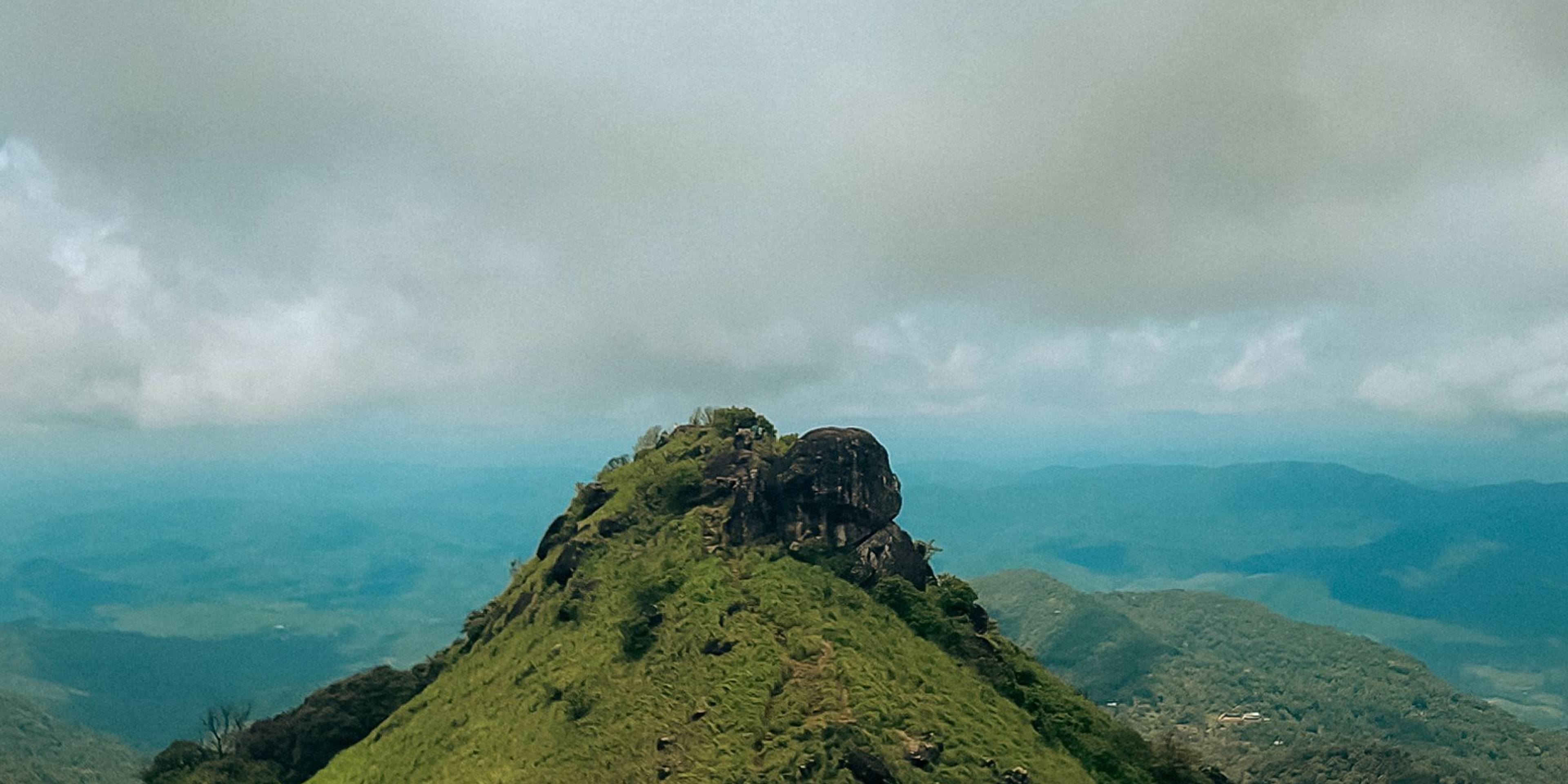
Kasaragod's highest hill, on the Karnataka border, reached by a forest trek that climbs through shola woodland to open grassy meadows.
Overview
Ranipuram is a forested hill on the Kerala-Karnataka border in the east of Kasaragod district, about 43 km from Kanhangad. It was formerly known as Madathumala and is the highest point in the district. Kerala Tourism often calls it the Ooty of Kerala. Its forests run on into the Coorg hills of Karnataka and the Talacauvery Wildlife Sanctuary, and the area is noted for shola forest, which is found nowhere else in the district.
The trek to the top
The trek starts at the Forest Department check post above Panathady and climbs about 2 to 2.5 km each way. The first stretch passes through dense evergreen forest on a stony path, with steps laid in places, before coming out onto wide grassland dotted with rocks and patches of shola. The final climb leads to a rocky summit with views across the Western Ghats on clear days. Allow around three to four hours for the round trip at an easy pace.
The meadows are thick with lemongrass, and on misty mornings the hilltop can feel very remote. The forest is home to elephants, leopards, deer, wild boar and Malabar giant squirrels, and birdwatchers look for hornbills, trogons and paradise flycatchers. The Forest Department controls entry and closes the trail in the afternoon, so start early. There are no shops or toilets along the trail or on the summit.
The District Tourism Promotion Council runs cottages near the base, and homestays in the surrounding villages offer simple rooms. Ranipuram makes a cool contrast to the beaches and forts of the Kasaragod coast, including Bekal Fort, which is about 58 km away.
Good to know
- Start the trek early in the morning; entry to the trail closes in the afternoon.
- Carry enough water and snacks, as there are no shops on the trail or at the top.
- Wear shoes with a good grip; the rocks are slippery when wet.
- In wet weather, carry salt or leech socks against leeches.
- Do not leave plastic on the hill and avoid descending at dusk.
Photos
Getting there
- By road
- About 43 km from Kanhangad and roughly 85 km from Kasaragod town; buses run from Kanhangad to Panathady, from where jeeps or your own vehicle continue up to the check post.
- By train
- Kanhangad railway station is about 45 km away.
- By air
- Mangaluru International Airport in Karnataka is about 125 km away.
Nearest town: Panathady
Photos: Arjun Gk / Pexels and Shreyas Anchan Photography / Pexels
More places nearby
Kasaragod
Ananthapura Lake Temple
Kerala's only lake temple, near Kumbla, regarded as the original seat of Lord Ananthapadmanabha and long known for its crocodile guardian.
Kasaragod
Bekal Fort
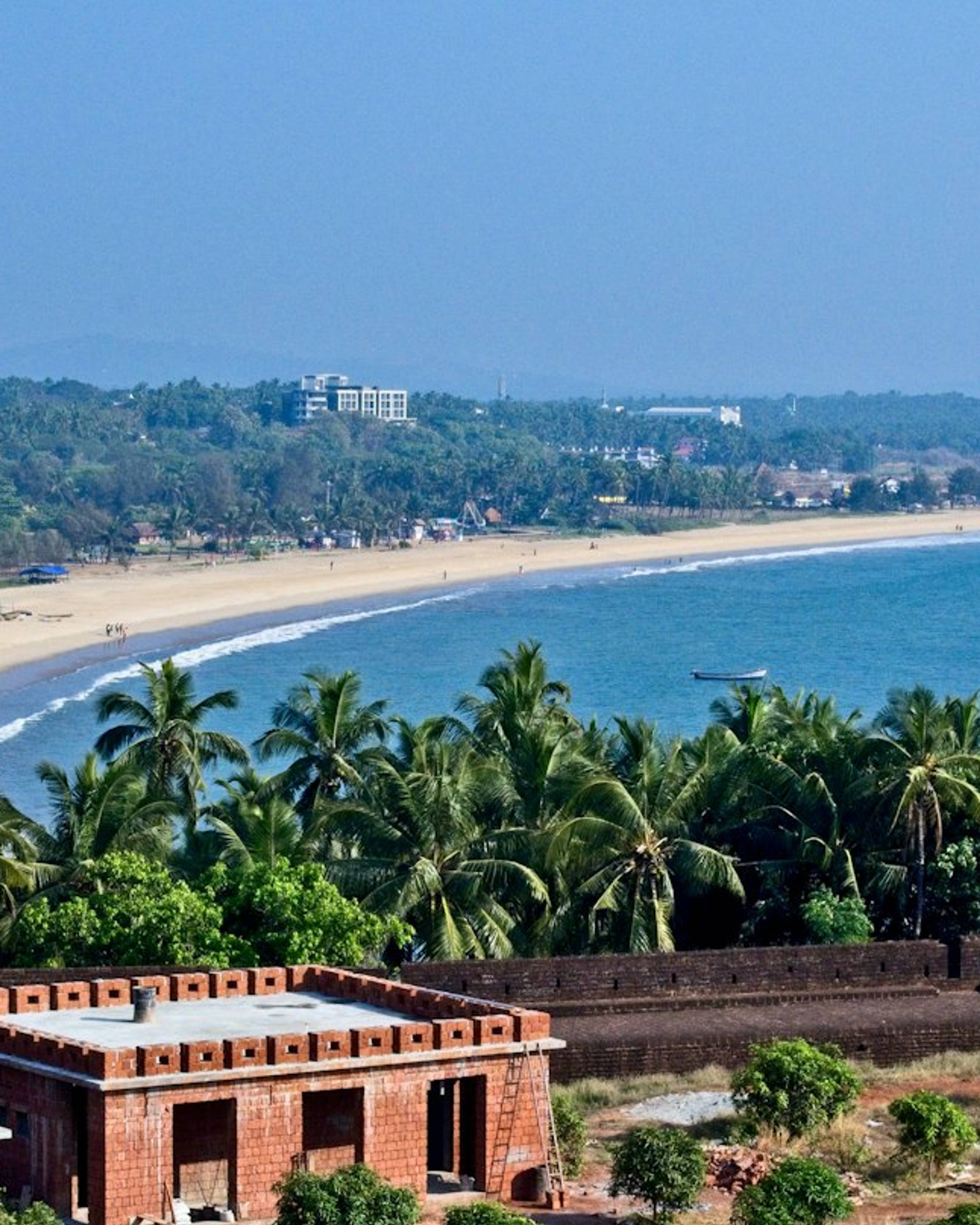
A large keyhole-shaped laterite fort standing over the sea, with walkways along its seaward walls.
Wayanad
Banasura Sagar Dam
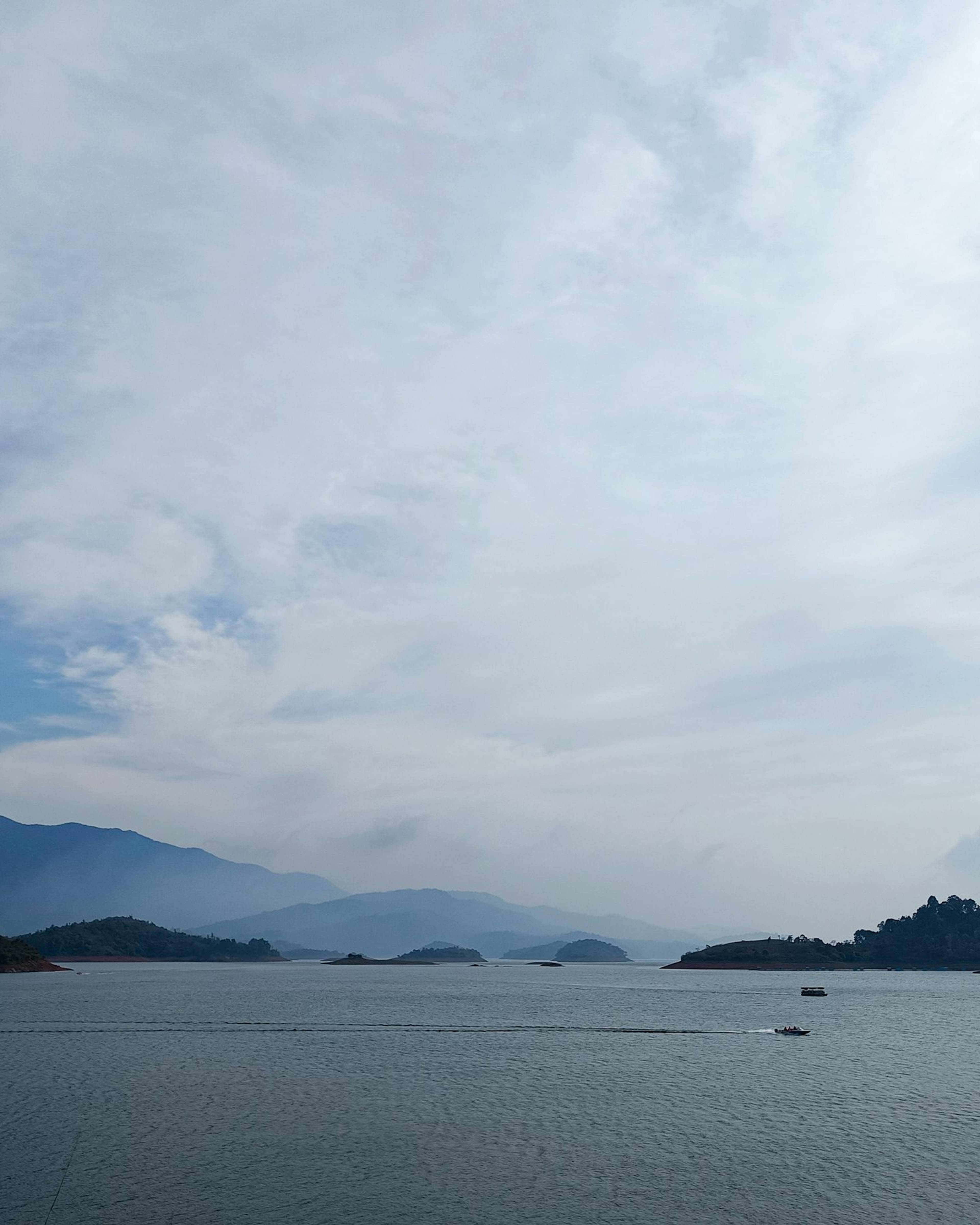
India's largest earth dam, near Padinjarathara in Wayanad, with a wide island-dotted reservoir set against the Banasura hills and speedboat rides.
Wayanad
Chembra Peak
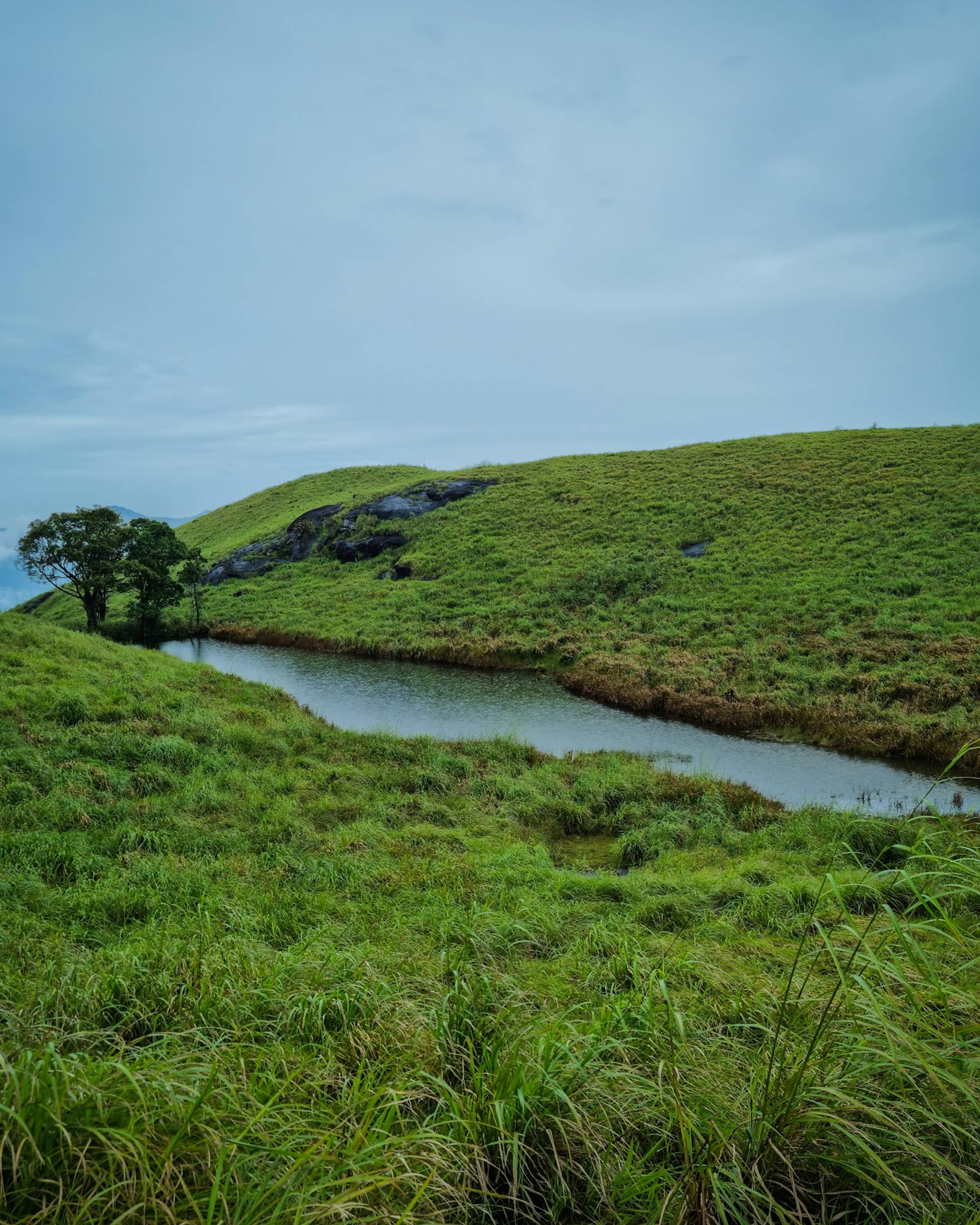
Wayanad's highest peak, at about 2,100 m near Meppadi, known for a guided trek through grassland to a heart-shaped lake.